


We specialize in creating highly accurate maps that businesses rely on.
We offer
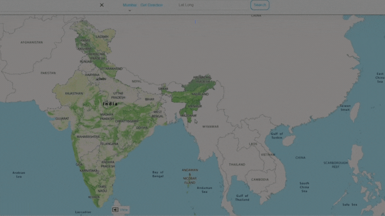
Our attribute rich 2D Maps and 360° panoramic street images provide a detailed, ground-level perspective of the world.
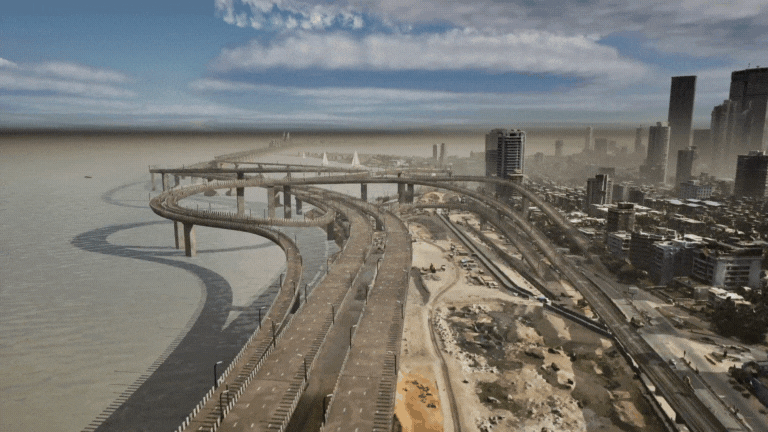
Experience the future with our 3D Digital Twin technology. It's not just a map; it's a dynamic, digital replica of the physical world, offering insights and opportunities never seen before.
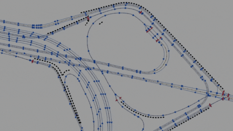
Our Advanced Driver-Assistance Systems (ADAS) maps bring an extra layer of safety and precision, crucial for the evolving needs of autonomous driving.
Our Global Services:
AI/ML Automation | Latest Tech | Custom Solutions
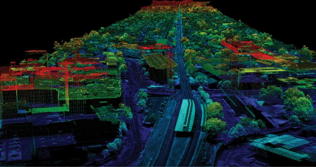
We've mastered the art of map-making, from rapid aerial 3D city mapping to intricate mobile and backpack sensor solutions. Our high-tech approach, featuring aircrafts equipped with cutting-edge technology, LiDAR-enabled mobile units, and versatile backpack sensors, ensures comprehensive coverage of both urban landscapes and challenging terrains.
We offer a diverse range of development and consultation services. Our two decade long end-to-end expertise in data capture, processing, and product creation guarantees precision and efficiency, making Genesys a go-to partner for both national and global mapping needs.
Glimpse of our projects:
3D Digital Mapping of Mecca | Google Street View | Global Auto OEM - ADAS Map
Our Clientele
Customer Case Studies


Solutions


2000+ Professionals | Delivered Projects across the Globe | Listed Company (NSE & BSE) | Offices in Mumbai, Delhi, Dehradun and Bangalore in India | More than 20 Years Experience in Geospatial Industry
|
2000+ Professionals | Delivered Projects across the Globe | Listed Company (NSE & BSE) | Offices in Mumbai, Delhi, Dehradun and Bangalore in India | More than 20 Years Experience in Geospatial Industry |
Industries we cater to
We provide Custom Solutions for the below Industries and more:
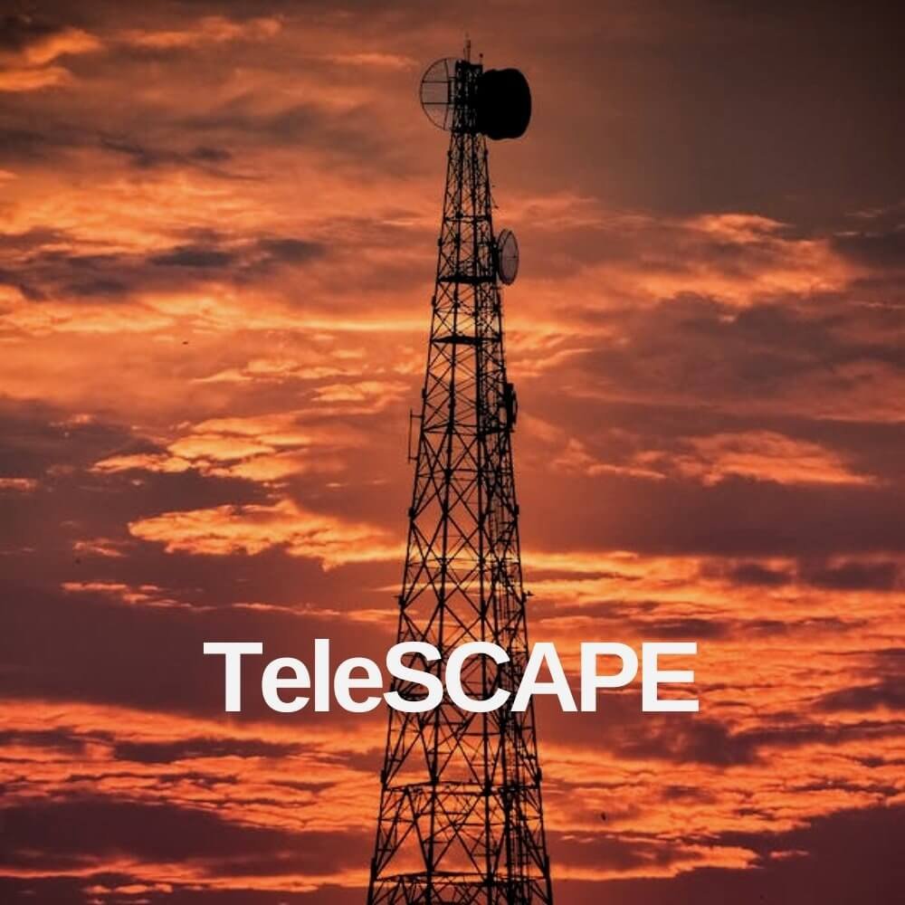
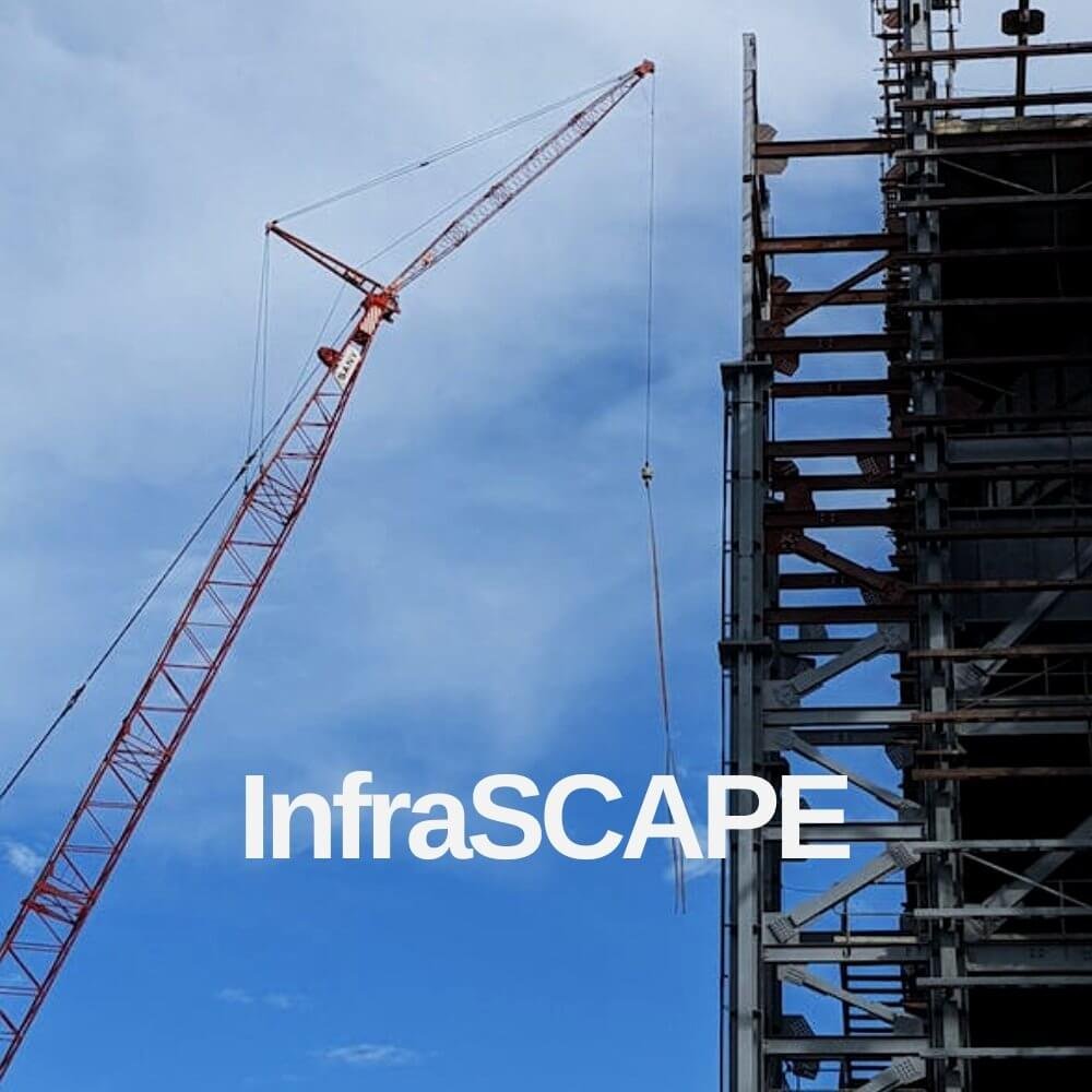
URBAN DEVELOPMENT | NAVIGATION | INFRASTRUCTURE | MINING | POWER | TELECOM | OIL AND GAS | WATER